Last Monday, we drove to Crater Lake, returning late Thursday. We drove the Rogue Umpqua Scenic Byway much of the day, headed for our first night's lodging at Union Creek.
On our first stop at Falls Creek Falls, we spotted this member of the subgenus Greater Fritillaries.
A little while later, we stopped at Toketee Falls on the North Umpqua River.
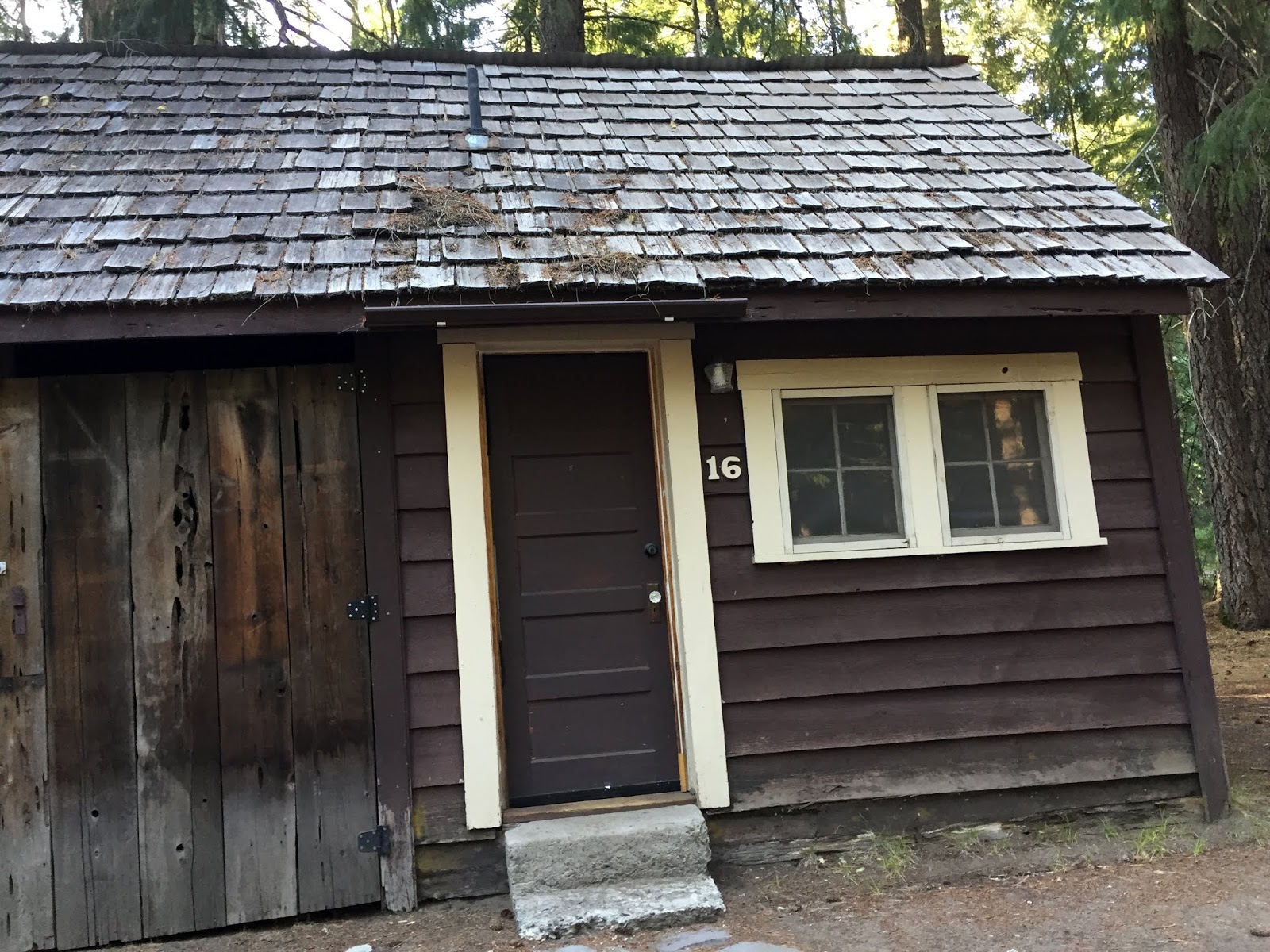
Our humble lodging at Union Creek "Resort" would have been a fair deal at half the price. Luckily, our next two nights were in a much nicer cabin closer to Crater Lake within the National Park.
A trail did lead from the resort, however, to a beautiful stretch of Union Creek and then down the Rogue River (above).
We hiked a couple miles down to a footbridge that crossed this gorge.
Right next to where we stayed is the Rogue River Gorge, a 500 foot section of the river that has carved a 45 foot deep trench in the lava and is only 25 feet wide at its narrowest point. It must be something when the river is at high levels!
A sign explained that this is an example of a living stump. The roots of the trees here grow together and can nourish each other, in this case a tree nourishing a stump.
In the morning, we drove a short distance down to Natural Bridge. At the top of this picture is an area where the river goes underground through a large lava tube. Early settlers and native Americans used it to cross the river.
The Natural Bridge. Underneath it is the Rogue River.
The river comes roaring out of a cave at the left in this picture.
Okay, I know you're all thinking, "What about Crater Lake? When do I get to see that?"
Tuesday morning, our first look at the iconic blue waters of the United States' deepest lake, 1,949 feet deep.
After a brief look at the Lodge, we drove around the rim, a 33 mile drive with numerous pullouts.
Mt. Mazama was a 12,000 foot mountain that blew its top 7,700 year ago. When the caldera collapsed following the eruption, it left a deep crater that has since filled to a certain level with snow and rainfall. There are no streams entering the lake, hence its famously clear water.
The cliffs all around the lake are very steep - vertical in many places. The park service has thoughtfully installed a large sign at the park's entrance stating that falls can cause injury or death.
That island is Wizard Island, a volcanic cinder cone that last erupted in 4,600 B.C. It rises 755 feet above the lake level.
The orange colored rock formation is called Pumice Castle. That tooth of a peak in the far distance is Mt. Thielsen.
Phantom Ship is the rock formation that rises 170 feet above the water and takes on a ghostly appearance in fog or low light.
Phantom Ship
We took a 7 mile side trip to The Pinnacles, which are tall spires formed from volcanic pumice by erosion.
Kind of like a gray Bryce Canyon!
After leaving The Pinnacles, we took a hike to lovely Plaikni Falls.
The mist of the falls resulted in an area of wildflowers, including much Lewis Monkey Flower (the pink flower on the right).
.
Wednesday morning, we took an early hike to a lush wildflower area called the Castle Crest Wildflower Trail. Since the sun was not on the flowers, we decided to return at a later time.
We liked this gnarly dead tree formation.
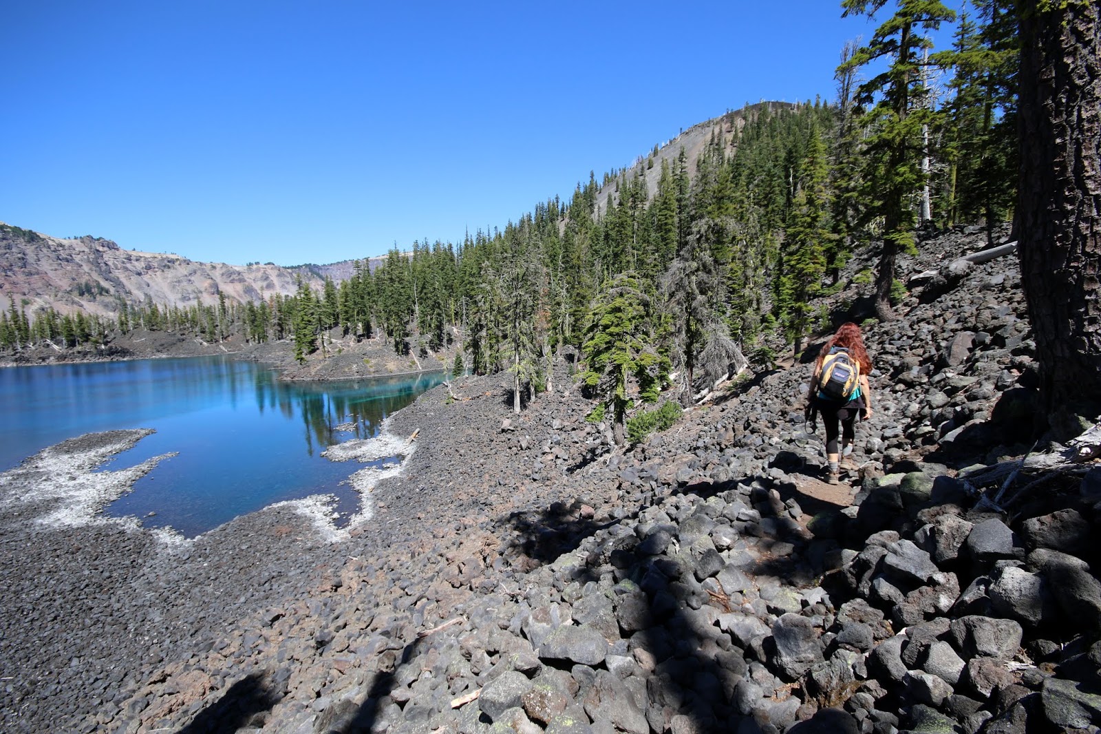
Our plan for Wednesday was to hike down the Cleetwood Cove Trail to ride the shuttle boat to Wizard Island, climb to the top, and explore as much of the island as our 3 hours allowed.
The Cleetwood Cove Trail descended a steep 700 feet to the lake where a few folks were already swimming.
Did I mention the water is blue? It is also very clear, with visibility up to 144 feet down. We saw some large fish, however, the lake had no fish until the park service thought it needed them starting in 1888. Rainbow Trout and Kokanee Salmon are the only fish surviving, but that is not considered a good thing. You can fish without a license and take as many as you want.
What, no selfie, you ask? Ha, we have that covered!
A man jumped off Jump-Off Rock, a popular thing to do from the ledge 18 feet above the water. As you can imagine, the water is quite cold, and there were frequent shrieks from people entering it.
The boat moved quite fast, but took 30 minutes to reach the island. Distance is deceiving on the lake.
An old root wrapped around a rock.
We hiked up the trail leading to the top - a 755 foot climb to the rim of the crater at the top.
The elevation is between 6-7,000 feet, so we were feeling it having come from sea level.
A view from near the top.
There were a number of dead trees near the top that were killed by dwarf mistletoe, we were told.
We ate our lunch at the top.
After climbing back down, we took the rough Fumarole Bay Trail out to a little cove to soak our feet.
Not wanting to miss our boat, we hiked back to the dock area and had time to relax by the shore.
Captain Ray piloted us back to Cleetwood Cove. He was eager for summer to end so he could get back to his 33 foot sailboat in Florida.
After climbing back up to the rim, we drove the rest of the way around the lake again to check out some of the view spots we missed before.
As the sun set later in the evening, we drove back up to the lake from Mazama Village to watch the moon rise.
The moon over the lake was a high point of the trip. I attempted to capture it with night photography, but I couldn't come close to doing it justice.
Looking at Wizard Island where we were earlier in the day.
You could still see some stars, despite the nearly full moon. Gail even saw a meteor.
Thursday morning, our last day, we did an early hike up to the top of Garfield Peak, a 1,000 foot climb to an elevation of 7,976 feet.
A Clark's Nutcracker, one of many we saw around the lake. We also saw several American Kestrels soaring and apparently diving after insects.
From the top we could see snow covered Mt. Shasta down in California.
Lake view.
We could also see the Klamath Basin to the southeast.
On the way out of the park we made our last stop at the Castle Crest Wildflower Trail.
Lewis Monkey Flower.
A pretty area fed by springs is our parting shot. Crater Lake, we shall return!